To overlay two countries, move them so that their centres are over the same point (eg 0, 0). The trick is to make sure that they stay the same size, and don’t get too distorted in the process.
The jamegeo.com country comparison method is:
1. Re-project your country into a UTM zone. This means that you can translate (move) it North or South without enlarging / shrinking the country, or distorting the shape. This only works if your country fits inside one UTM zone… which almost none do.
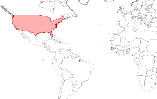
Step 0: Choose your country (or in this case some of a country)
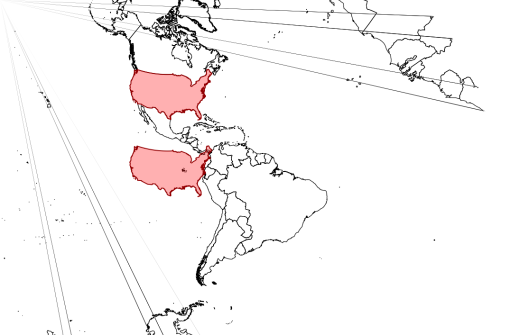
Step 1: Re-project your data into a UTM zone and move it South until the centre is over the Equator.
2. Move the country until the centre sits on the equator. Expect minor change in shape if your country is too fat for its UTM zone.
3. Re-project into a Equirectangular projection (eg WGS84)
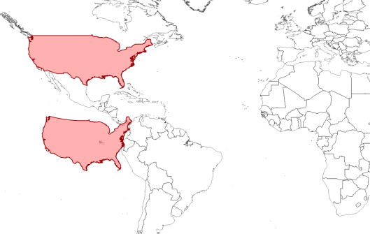
Steps 2/3: Put your data back into a rectilinear projection (eg WGS84). Note that CONUS appears to have shrunk, as this projection emphasises size near the poles. Some distortion has occurred because CONUS does not fit into one UTM zone.
4. Move your country along the equator, which you can do in a equirectangular projection without altering the shape.
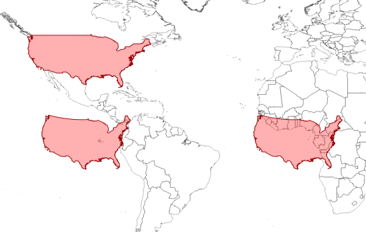
Step 4: Move your shape East until it is over (0, 0). You can do this in WGS84 because there is no distortion along the Equator.
5. Rescale (a very little bit) to compensate for any shrinking during stage 2.
6. Combine with another country and be very pleased with yourself.
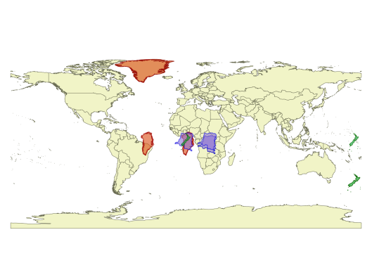
Testing with Greenland, New Zealand and the Congo.
51.068785
-1.794472

 These maps are not to be used for navigation!


